Application Utility
Plugin Utility
TAK can ingest multitudes of data formats, included is the ability to import ArcGIS Online (AGOL) layers. TAK uses open standards to communicate, and developers can create their own plugins to integrate with TAK to accomplish specific or unique tasks. As a result, there are many different integrations available as part of TAK, and as it becomes more widely adopted for fire and public safety use, more continue to be developed.
IAA/UAS Utility
The Incident Assessment & Awareness (IAA) program uses sensor-enhanced aircraft to produce geo-rectified still imagery (geoTIFFs) and full-motion video (FMV) end-user products. TAK can ingest these forms of imagery products and display it over a base map. This capability allows the firefighter or incident responder to correlate their location to adjoining resources and other fire features with near-real time incident imagery from airborne collection platforms.
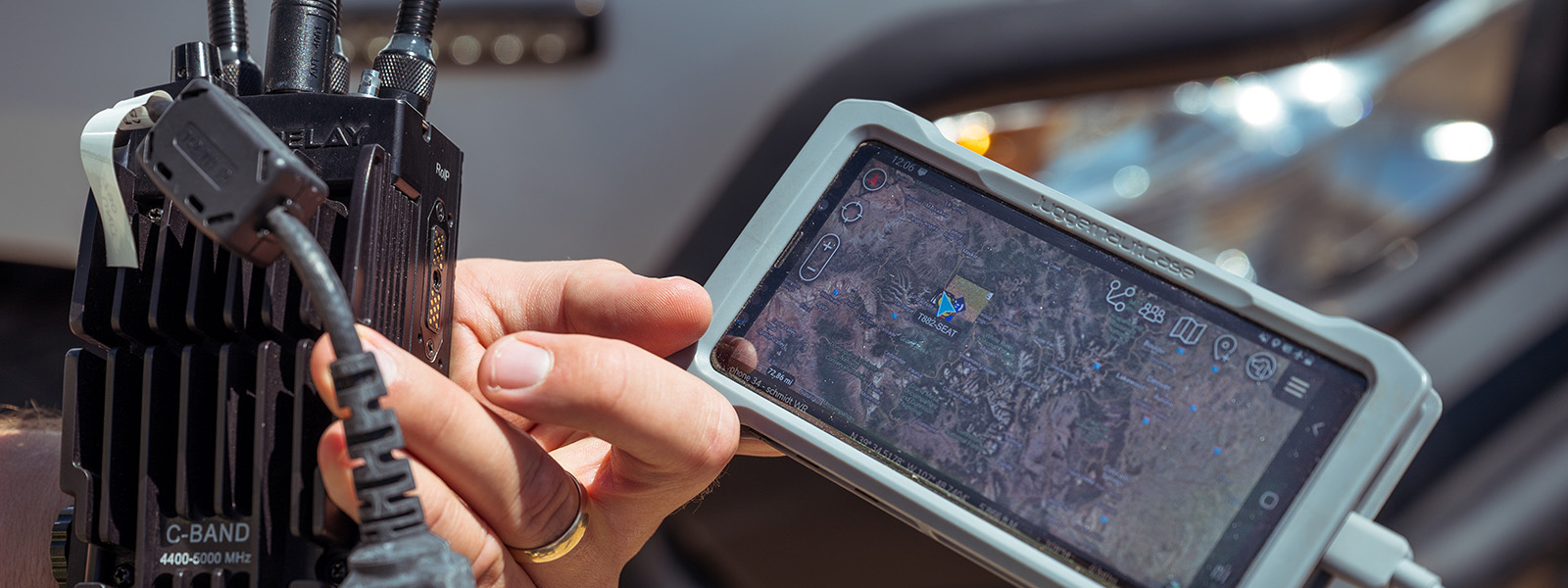
Mesh Utility
TAK is a low bandwidth application, which means it requires minimal connectivity to maintain a server connection. At a low bandwidth connection speed, a user may not be able to get large map updates or see other user locations with a quick refresh rate; however, the WFTAK user will be able to share their location and still have access to all tools embedded in the TAK software on their mobile device.
TAK has the ability operate on local area mesh networks. This requires specialized mesh radios, but there are several providers that have plugin integration for TAK. Mesh radios can bring internet connectivity to other mesh users or create their own localized network that is not viewable by the larger and connected WFTAK community. Regardless of the network connection (local or internet), topography and vegetation can impact mesh radio range, and the number of users on the mesh network can reduce the available network bandwidth.

